Ireland’s wild atlantic way
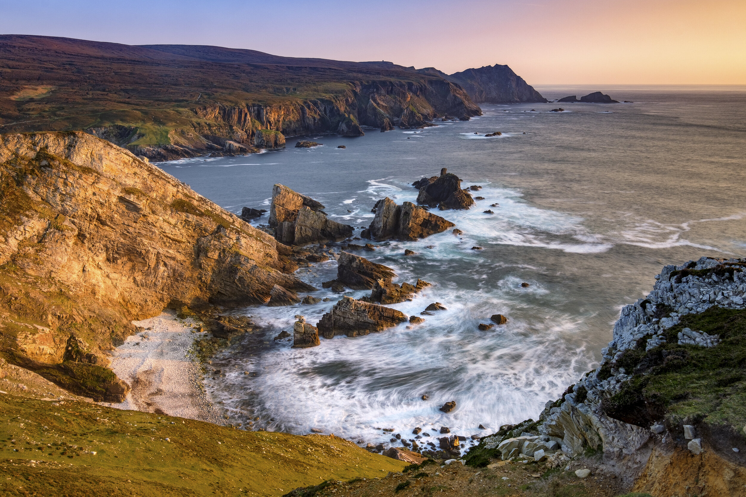
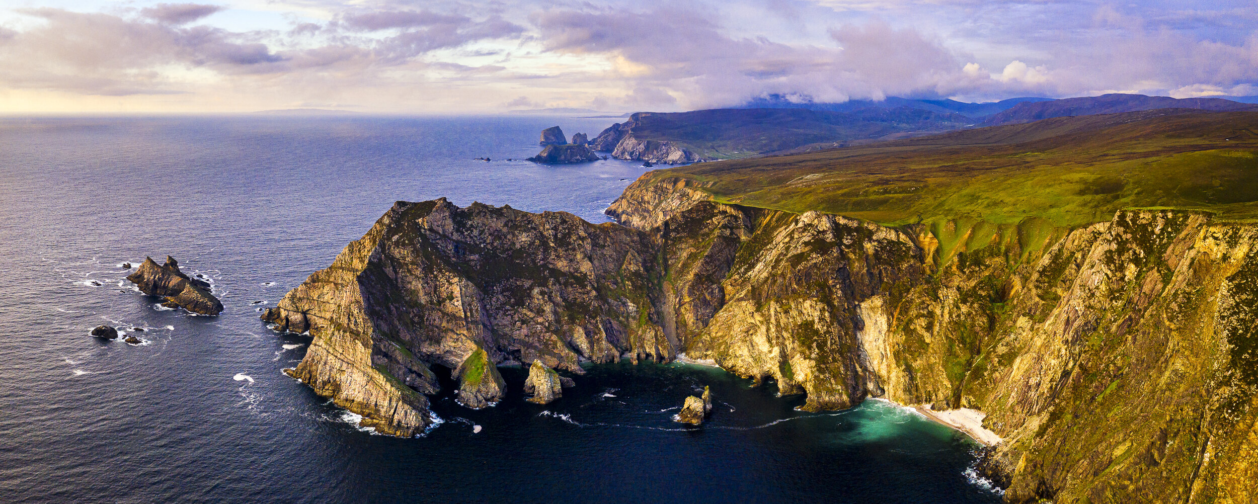
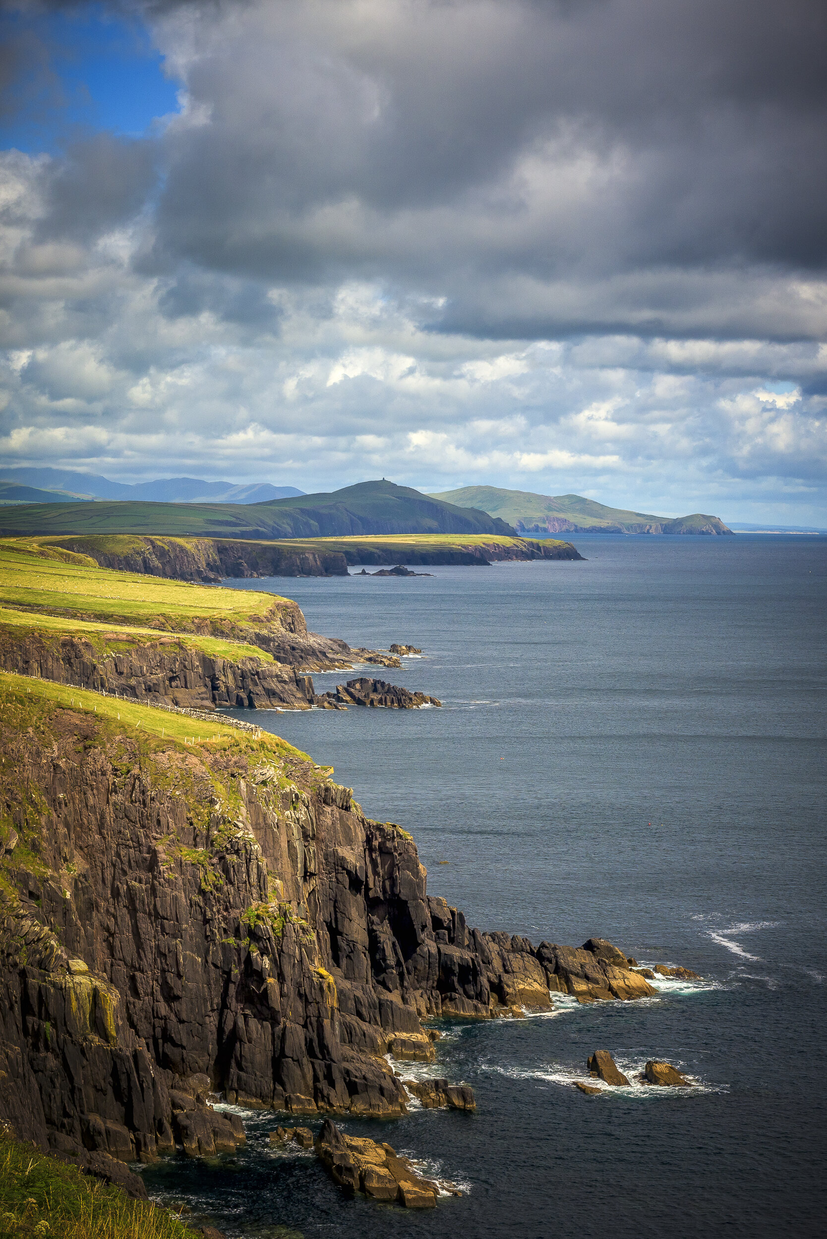
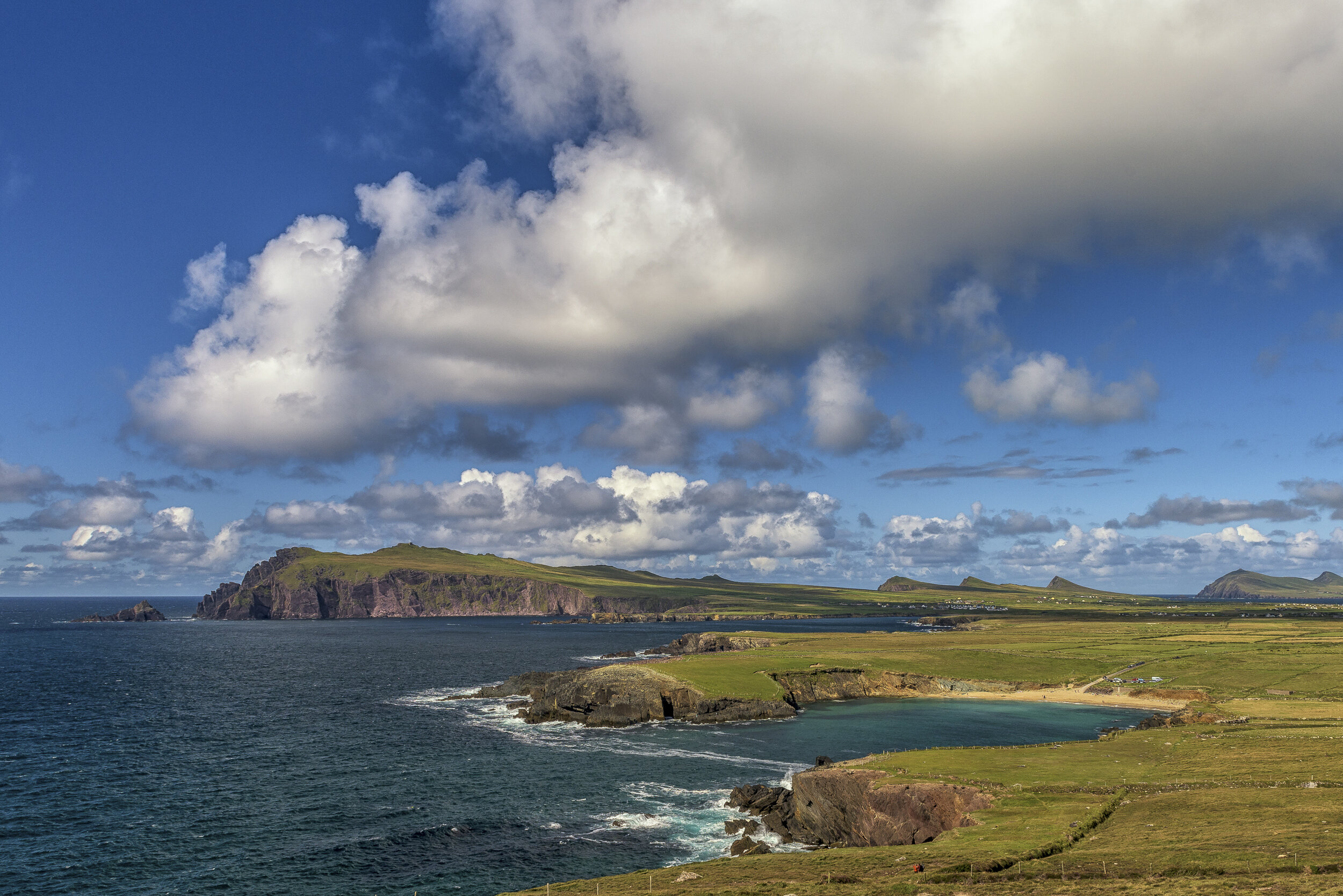
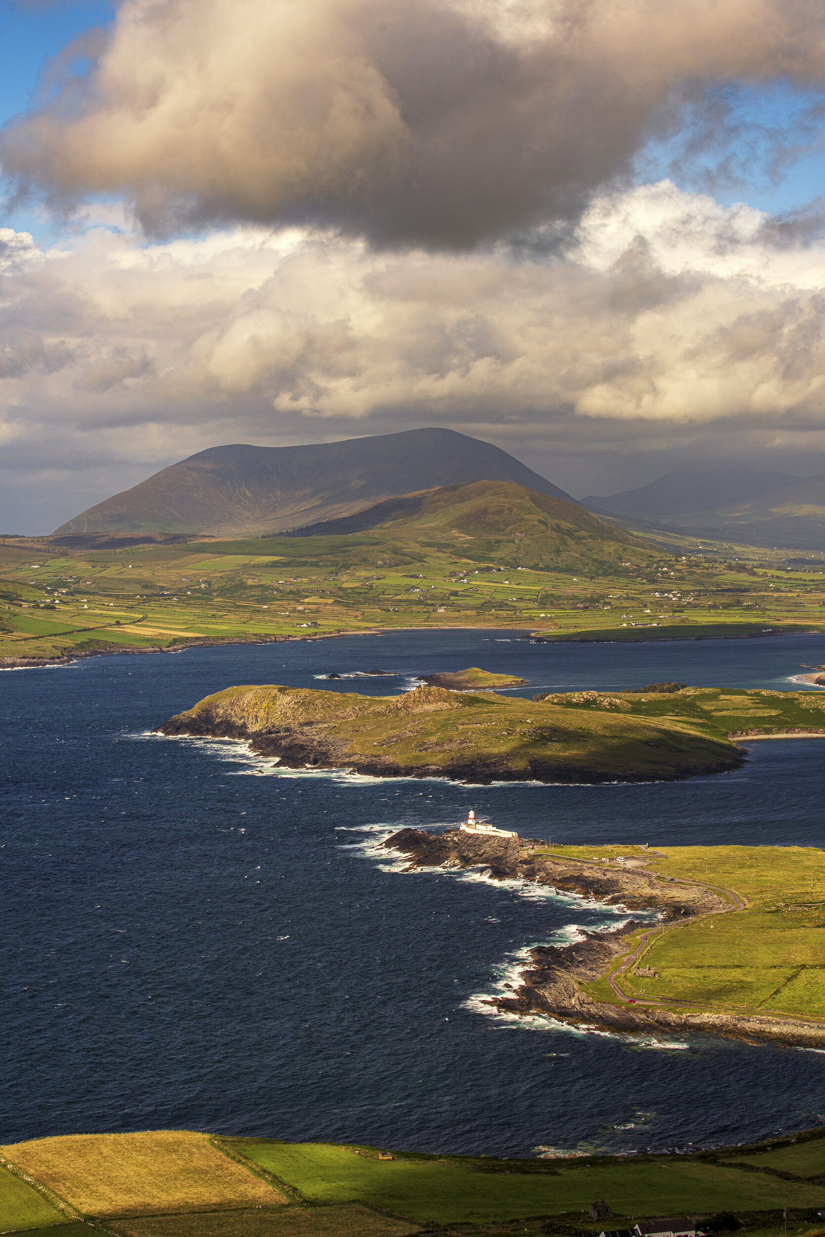
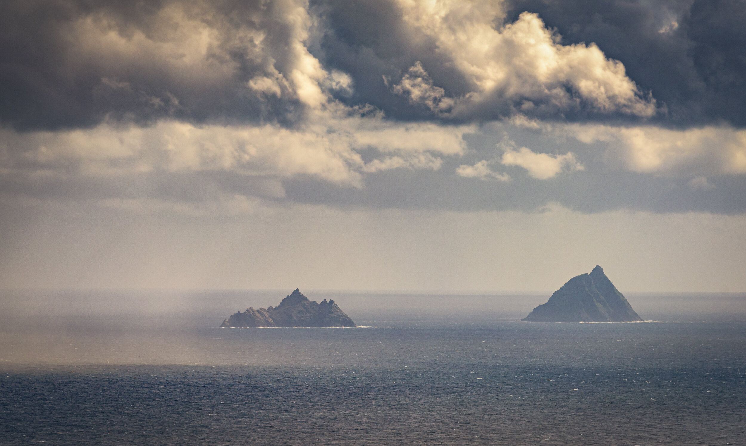
The Wild Atlantic Way is a tourist driving route, officially launched in 2014, stretching some 2,500km from County Donegal in the North of Ireland to County Cork in the South, taking in much of the stunning beauty of the west coast. I say ‘most’ because not everywhere can be accessed by road, and some of the most breathtaking locations require a bit of a hike. Even so the ‘Way” takes in over 500 of the major attractions, as it winds its well-signposted way through nine counties.
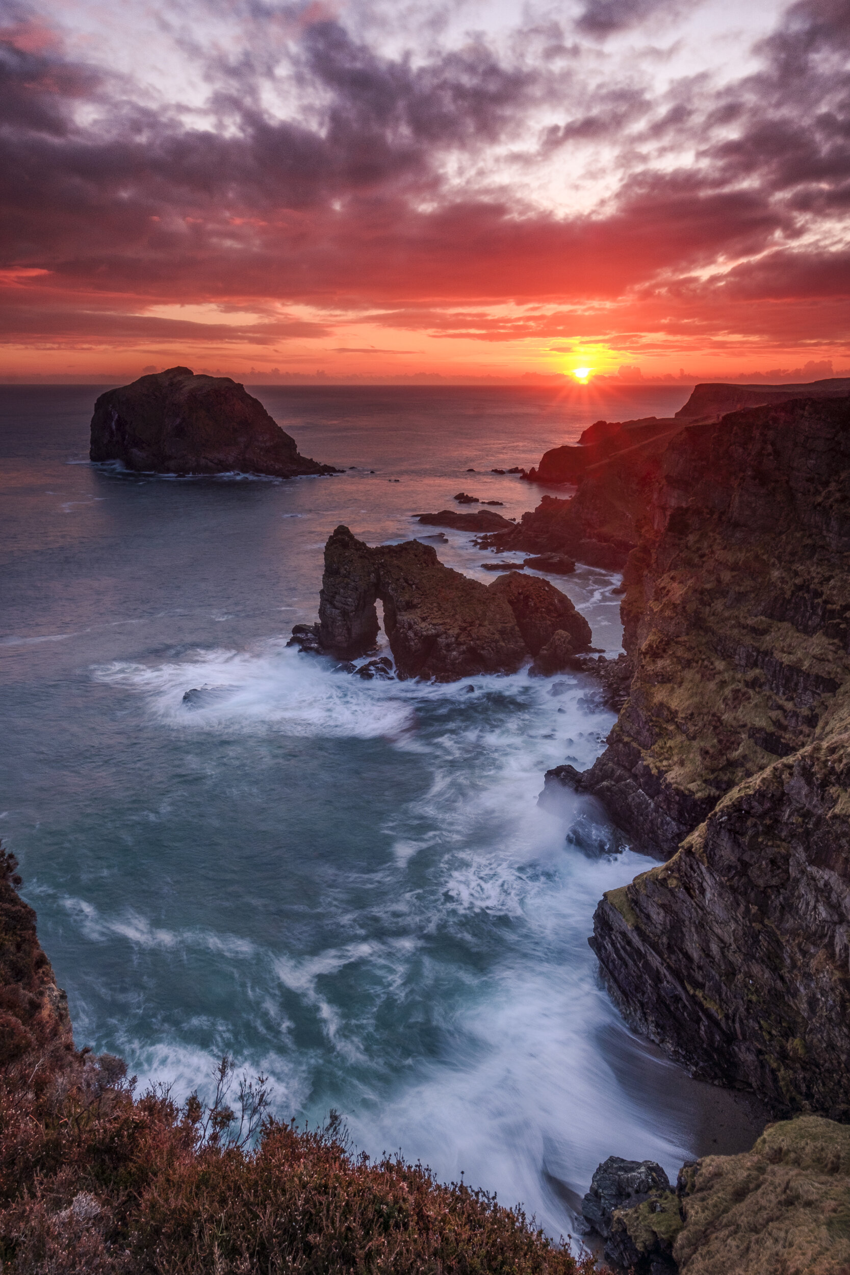
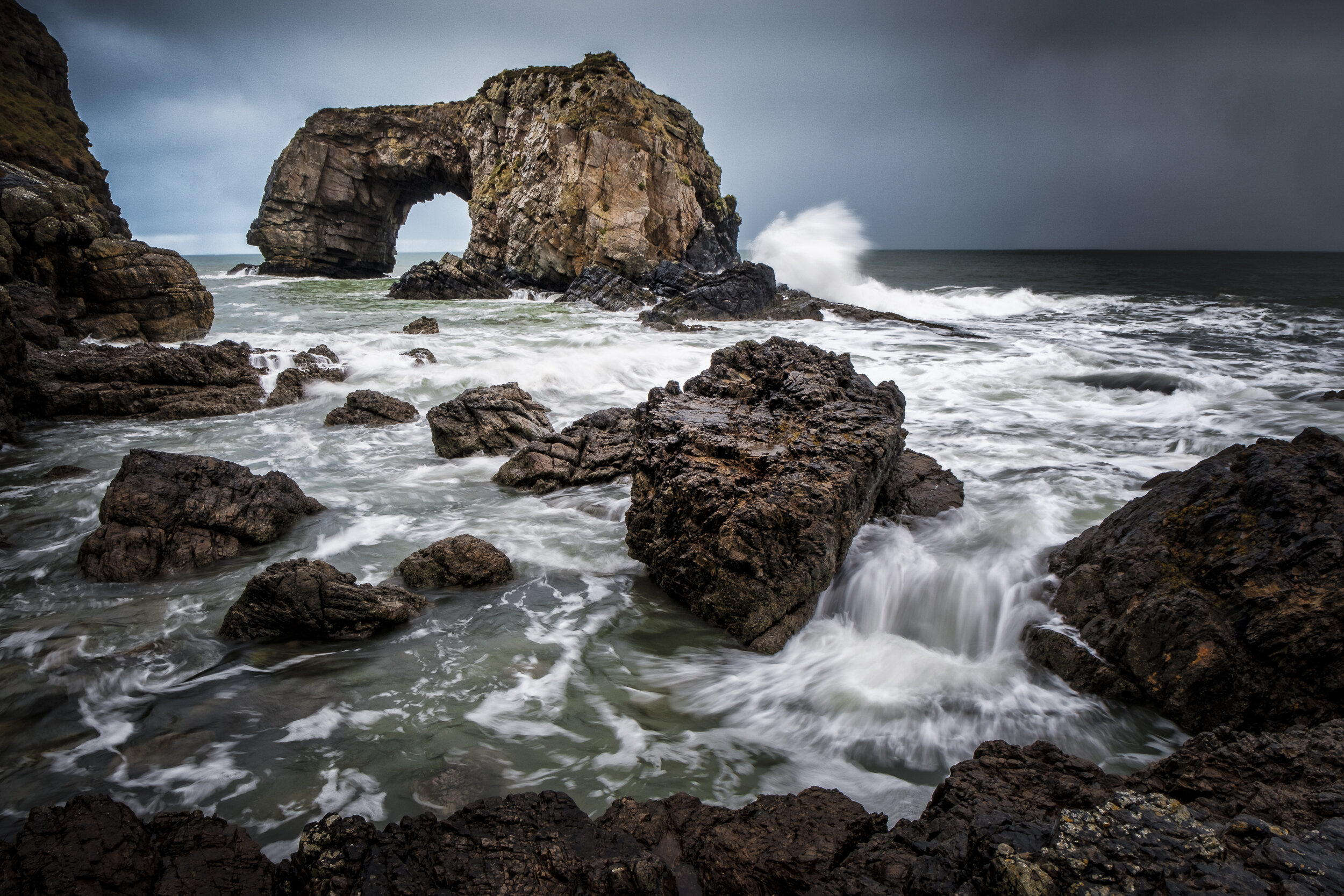
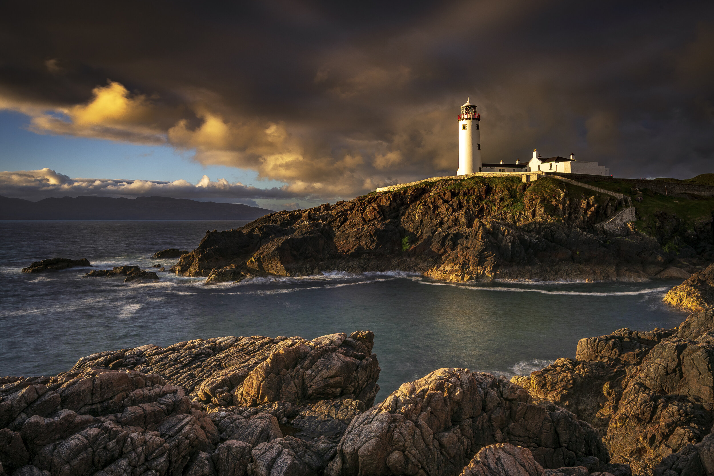
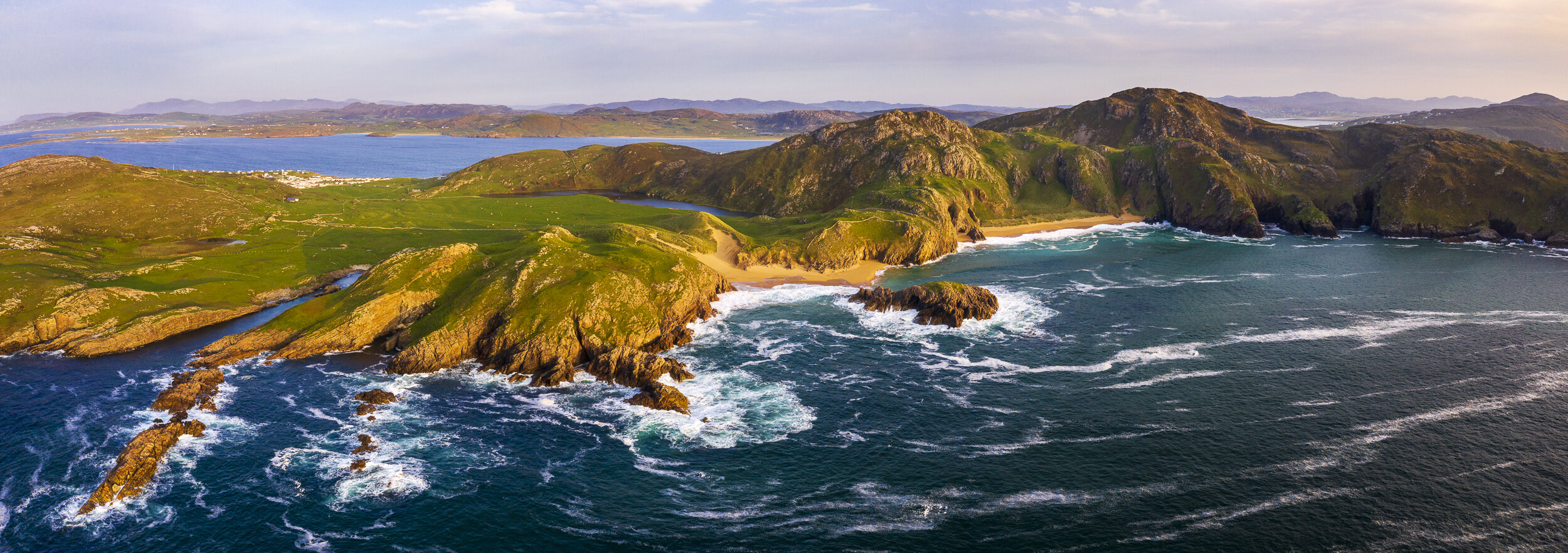
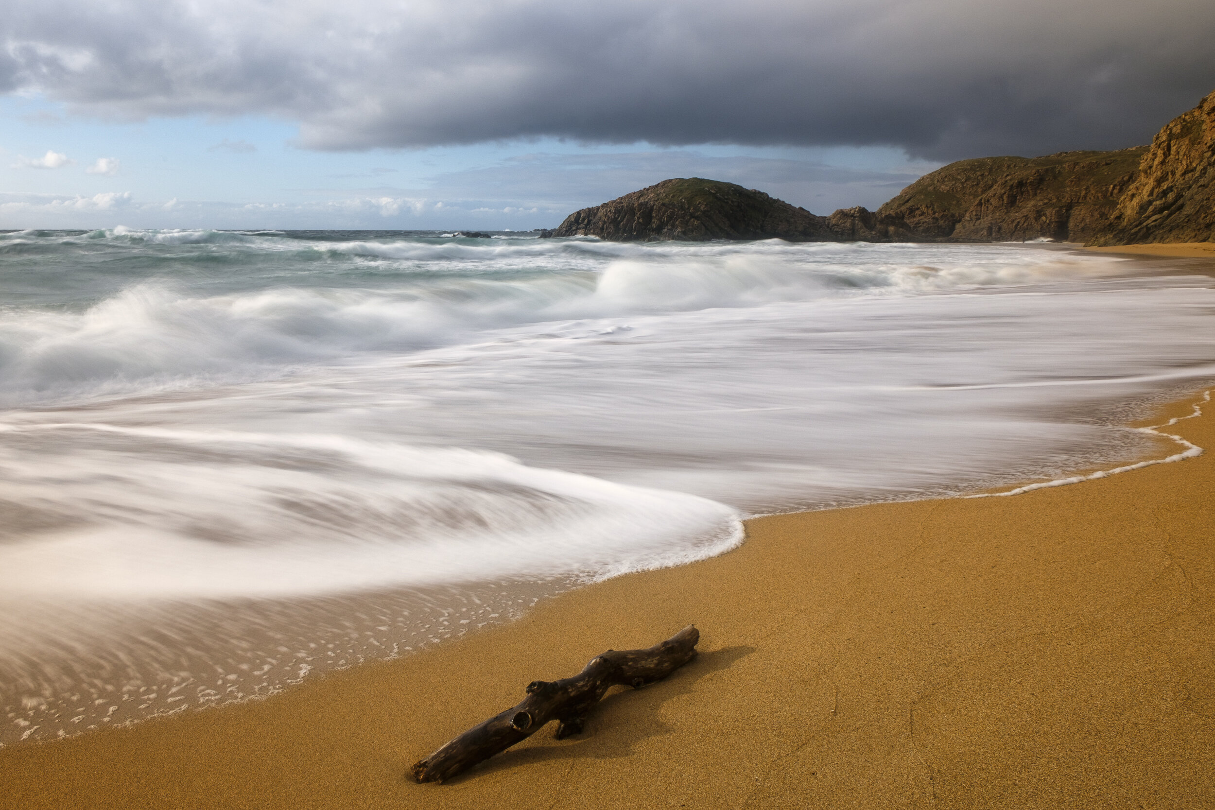
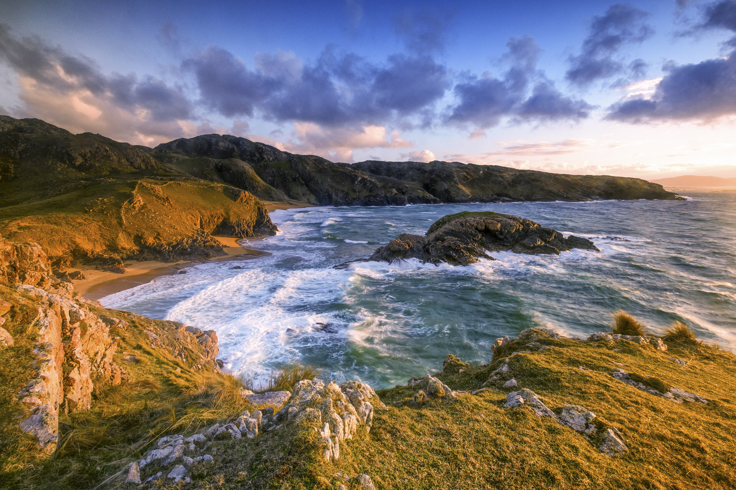
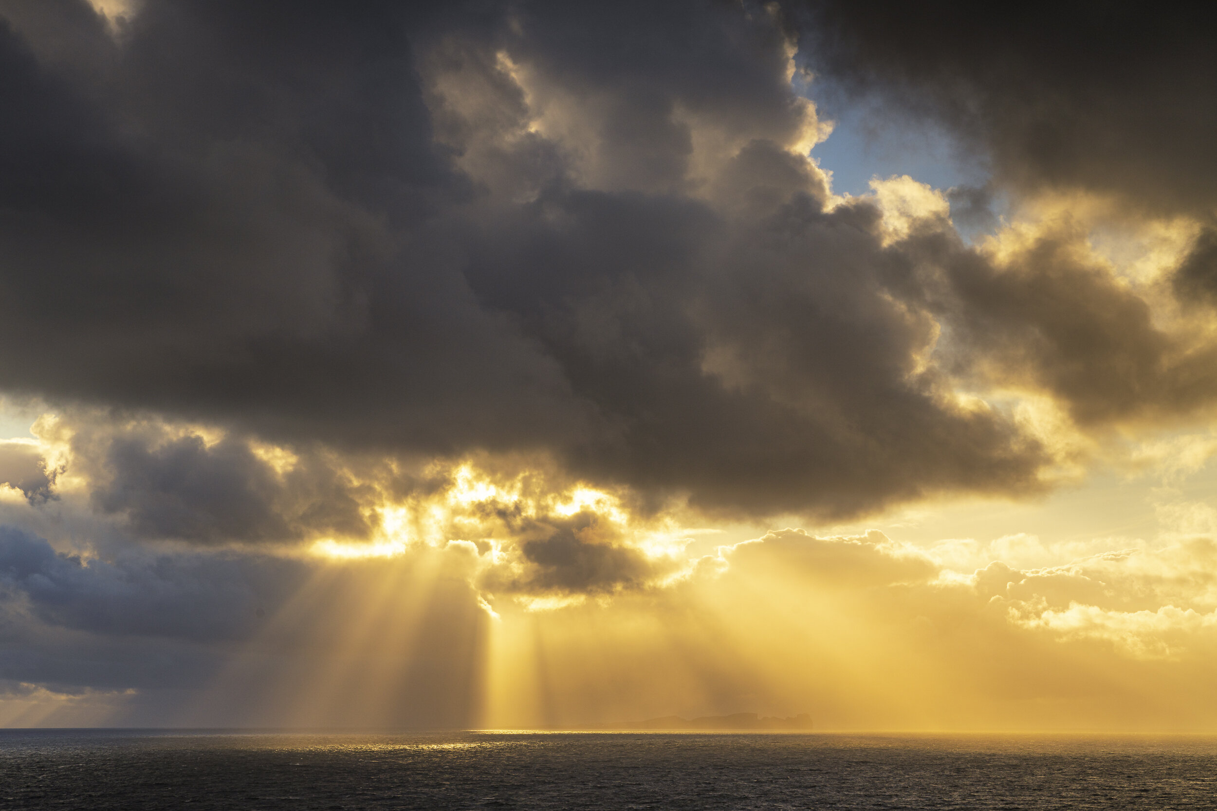
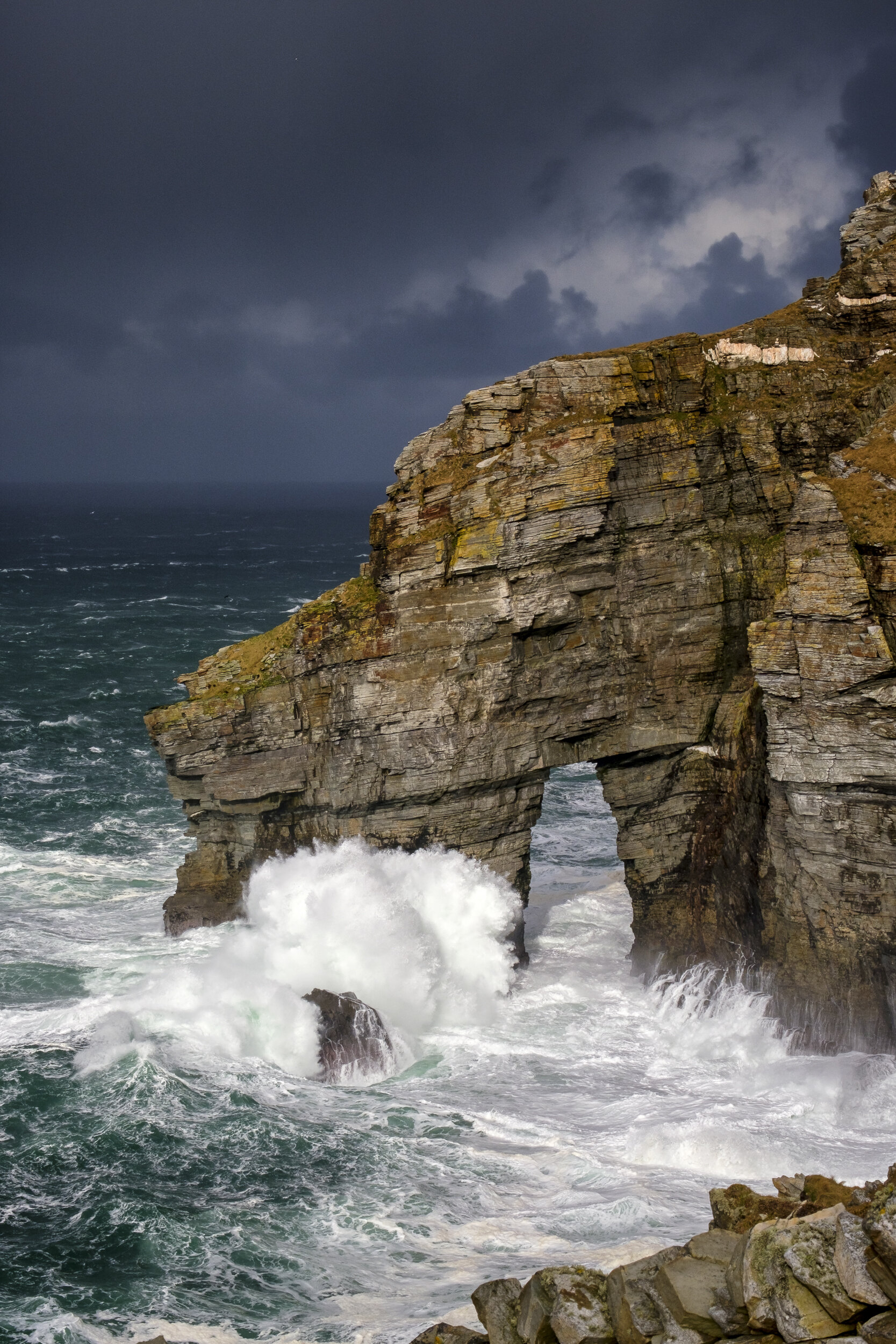
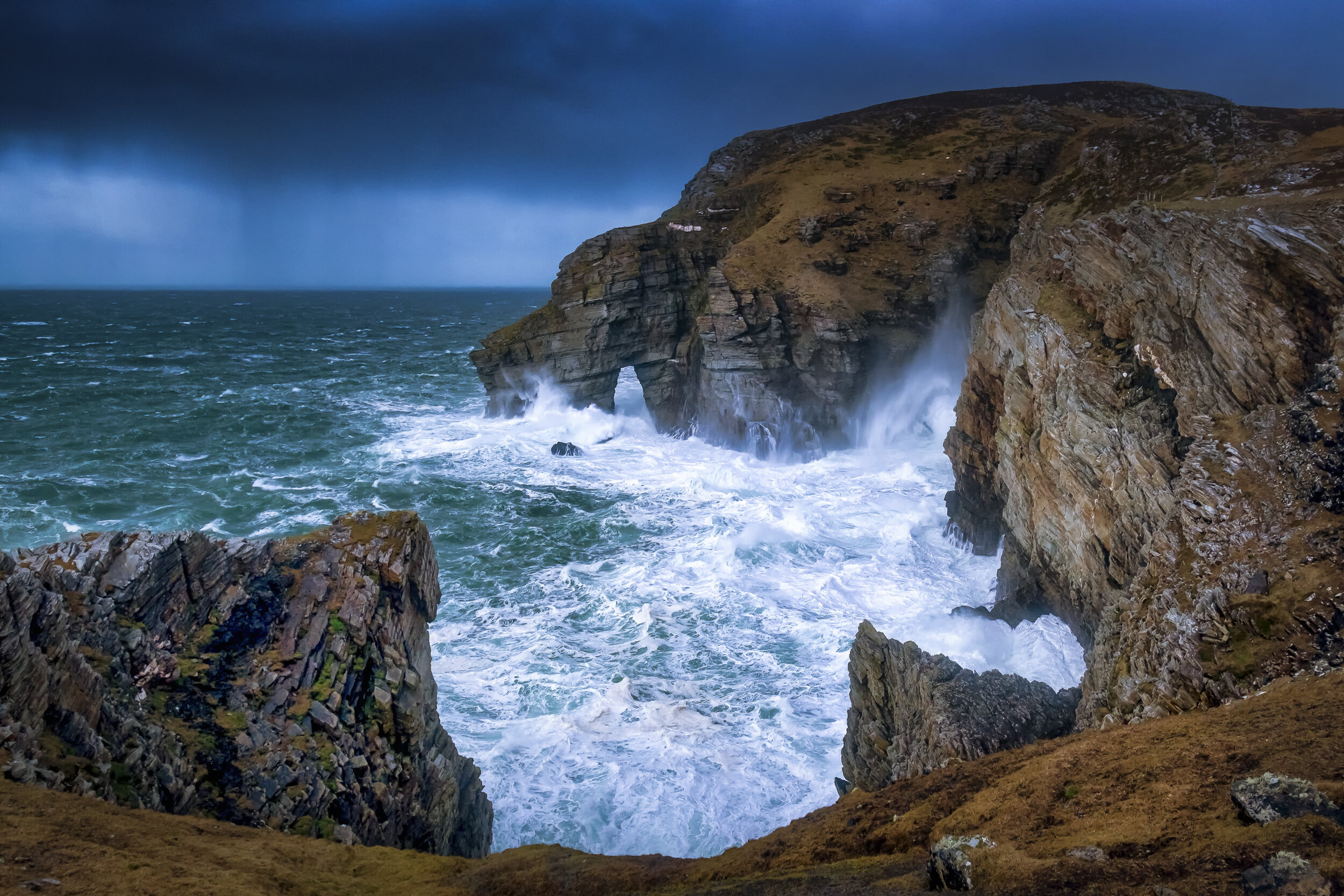
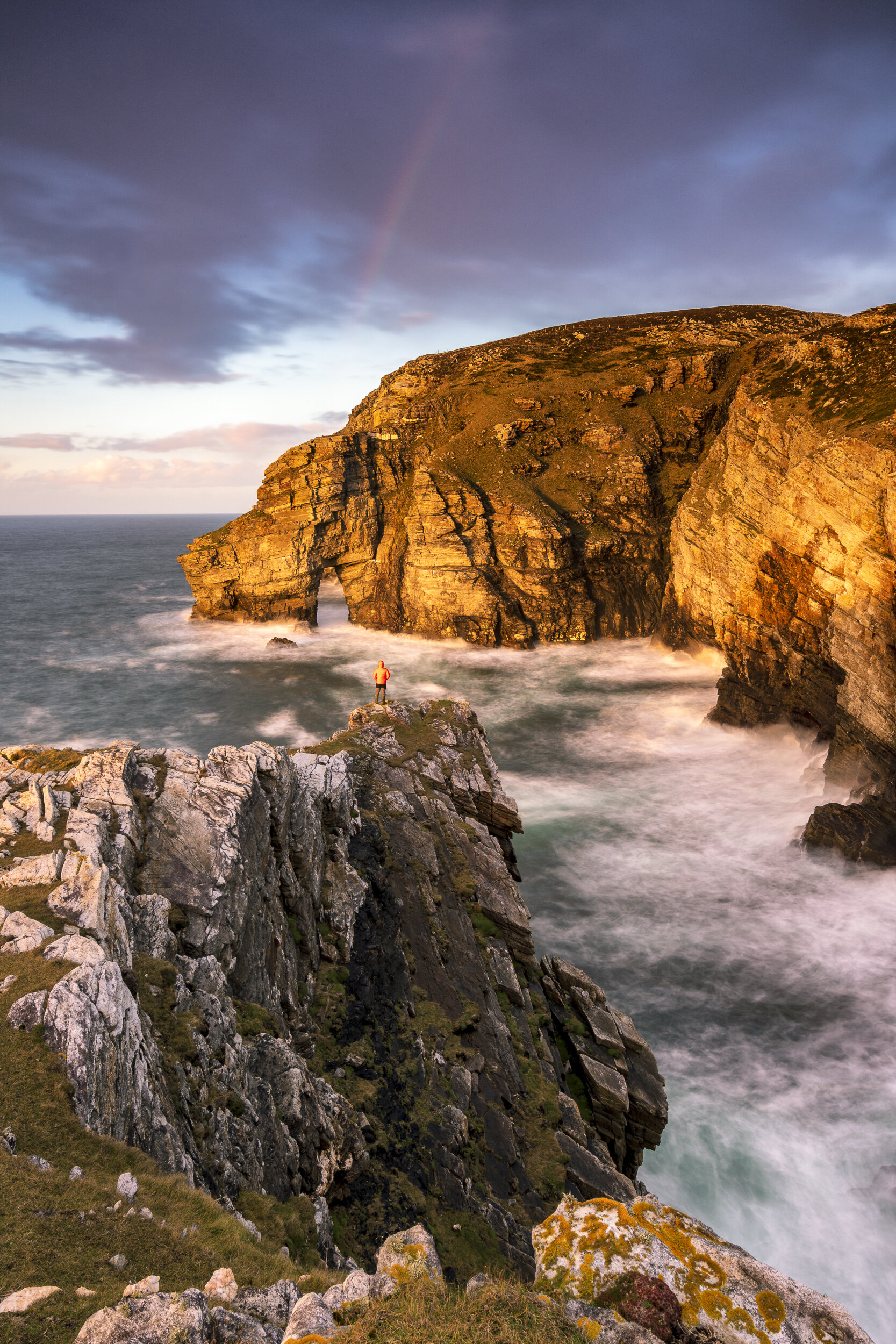
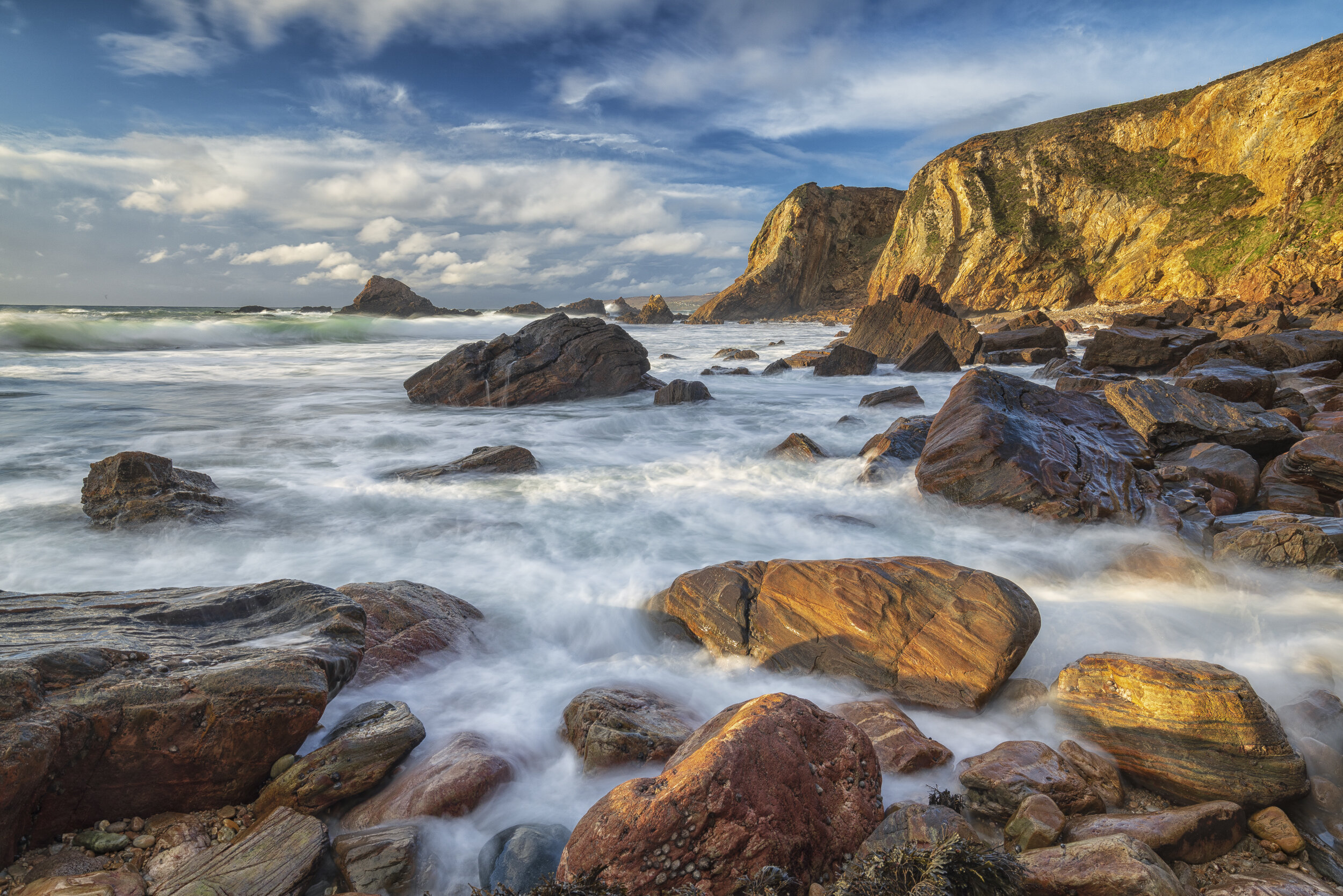
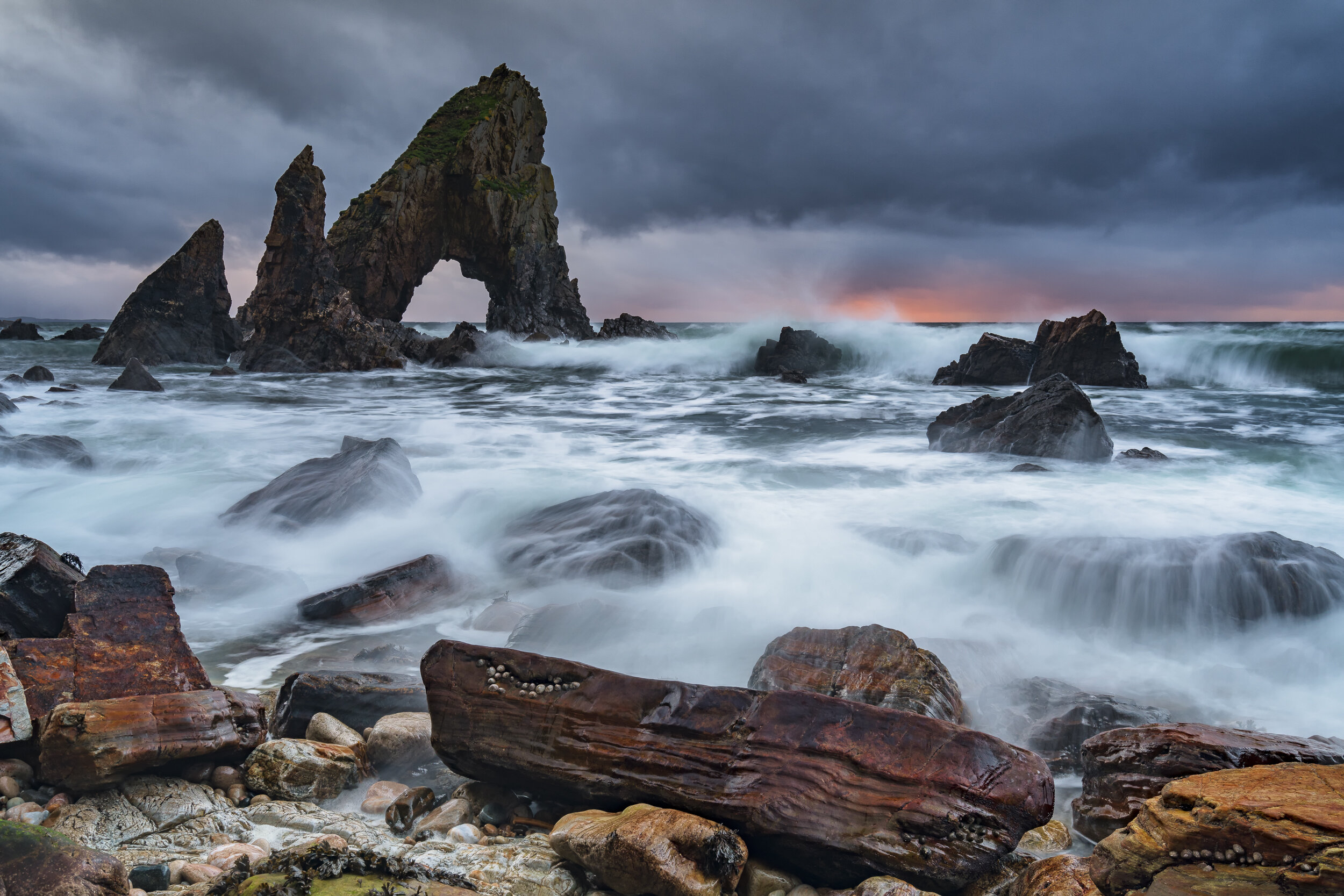
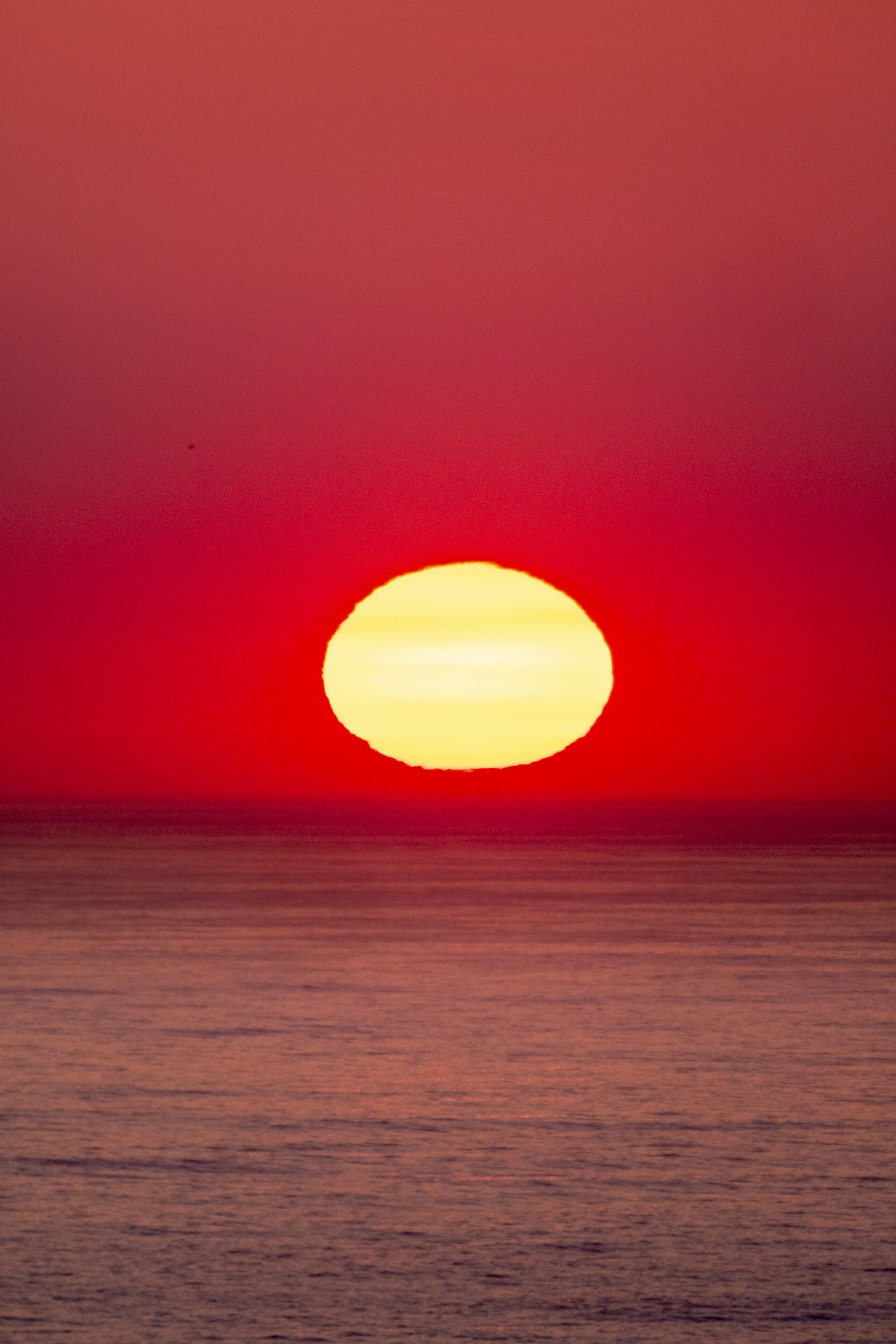
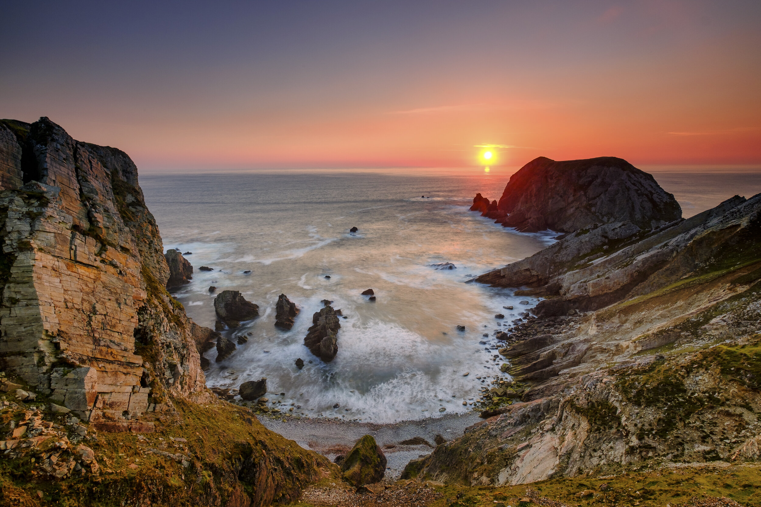
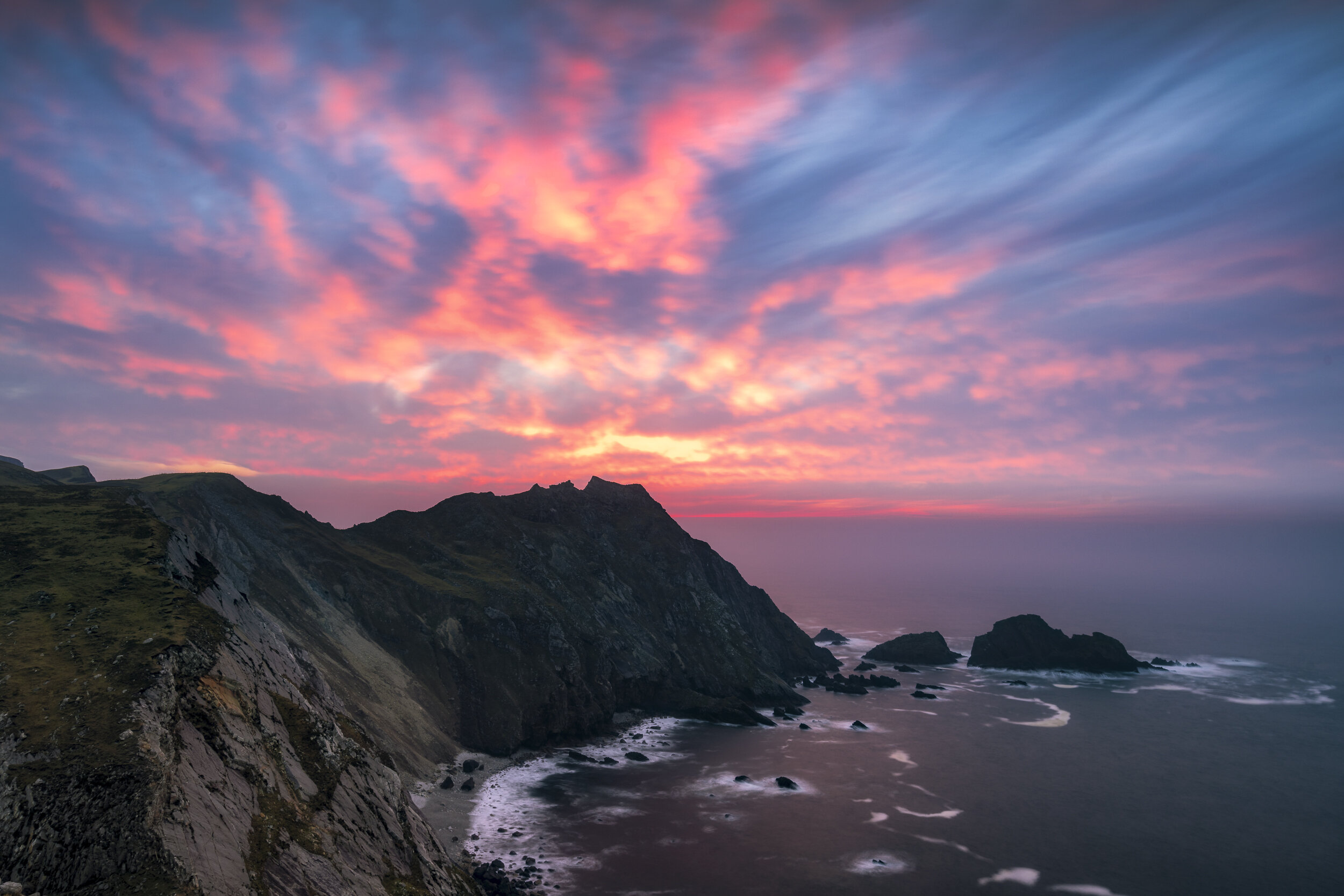
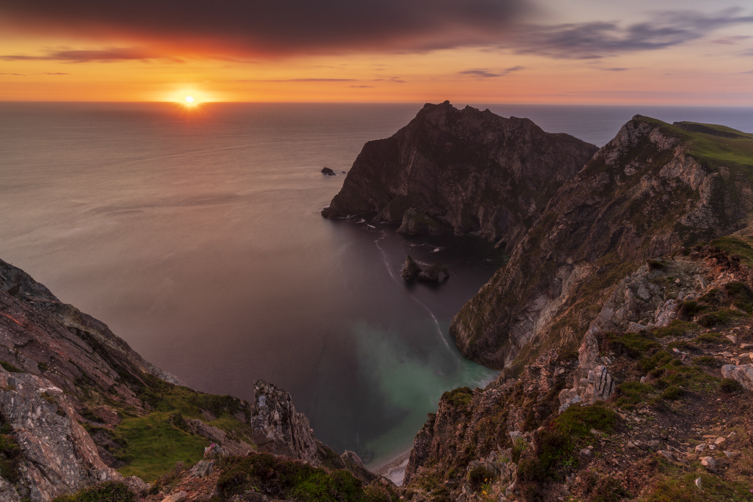
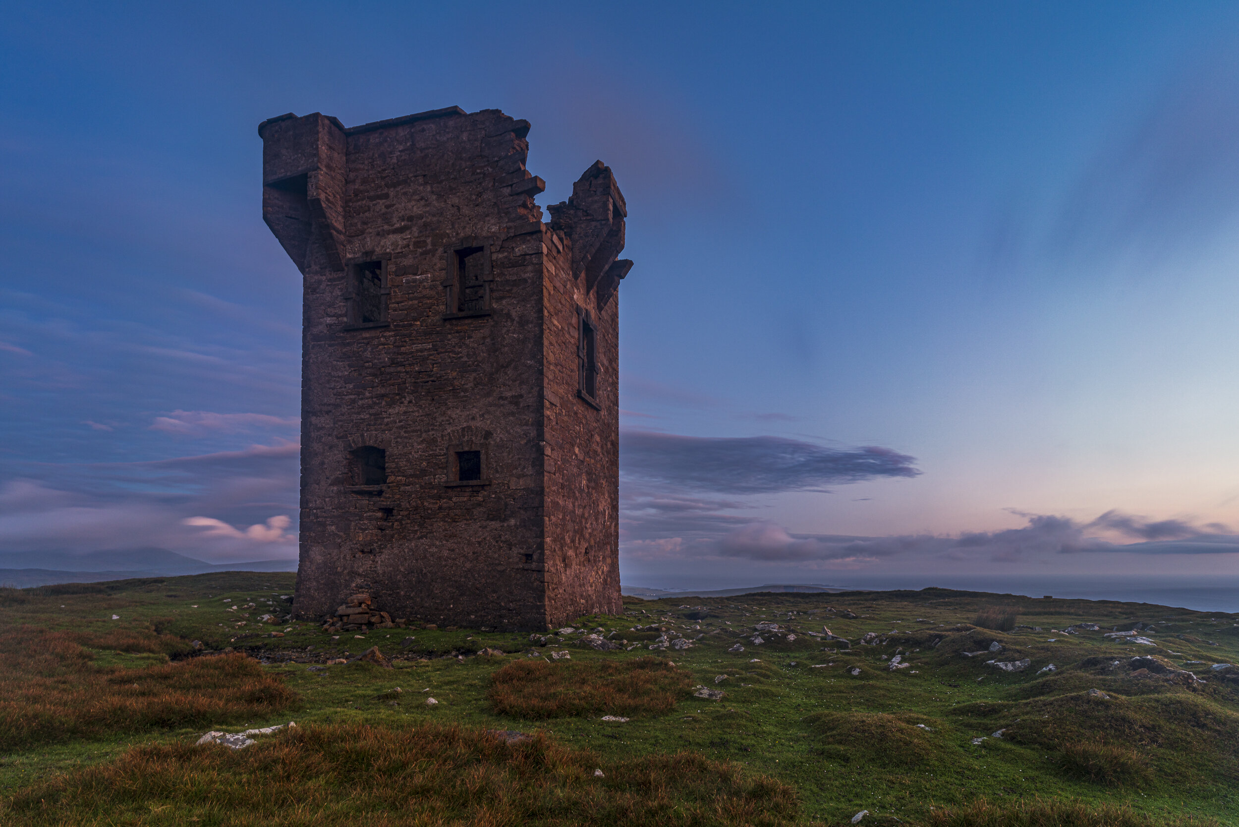
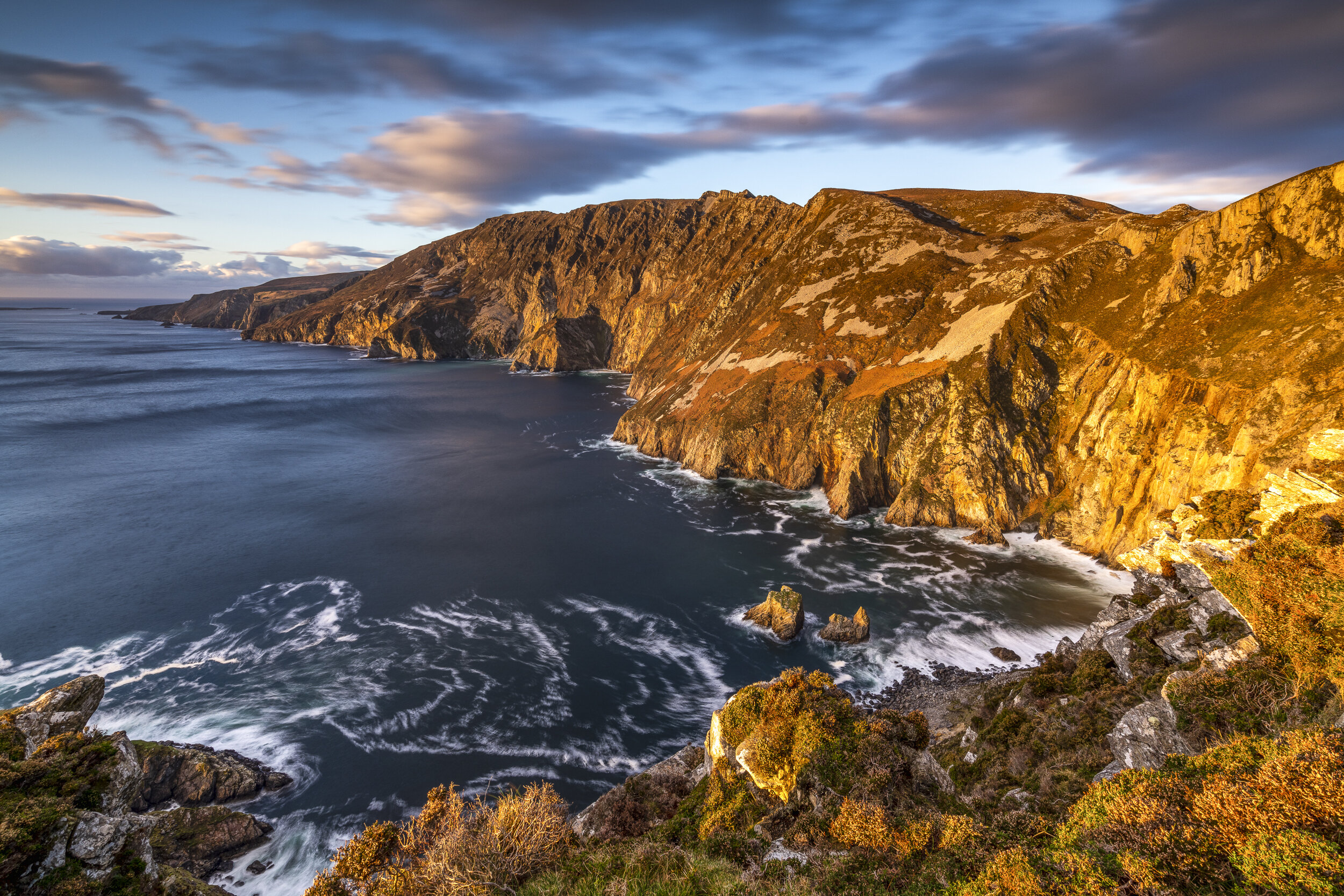
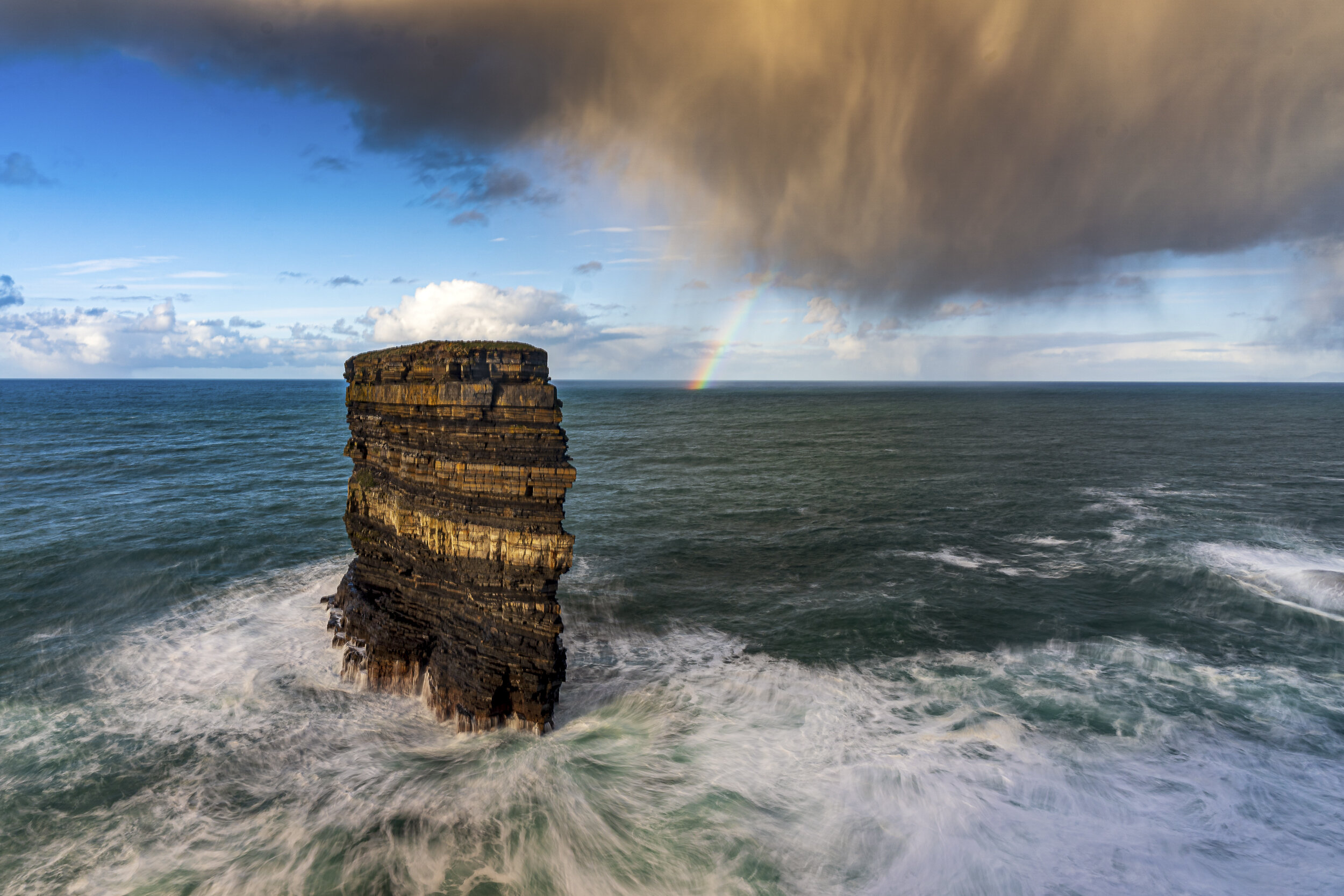
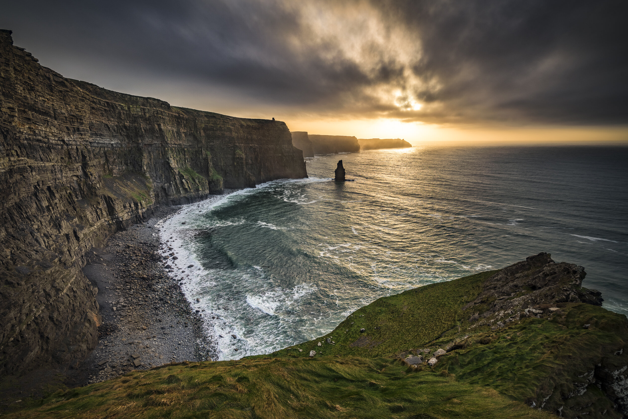
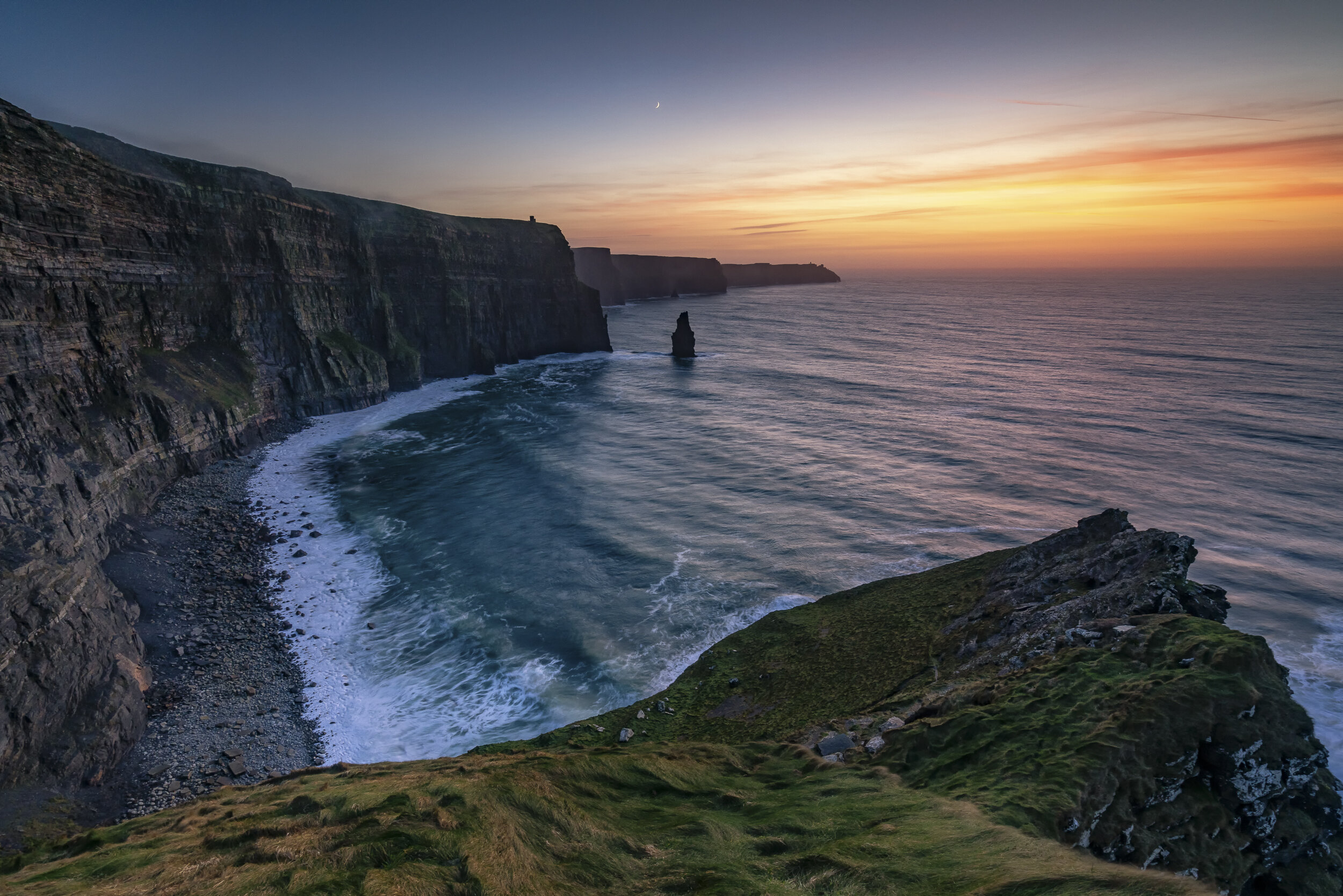
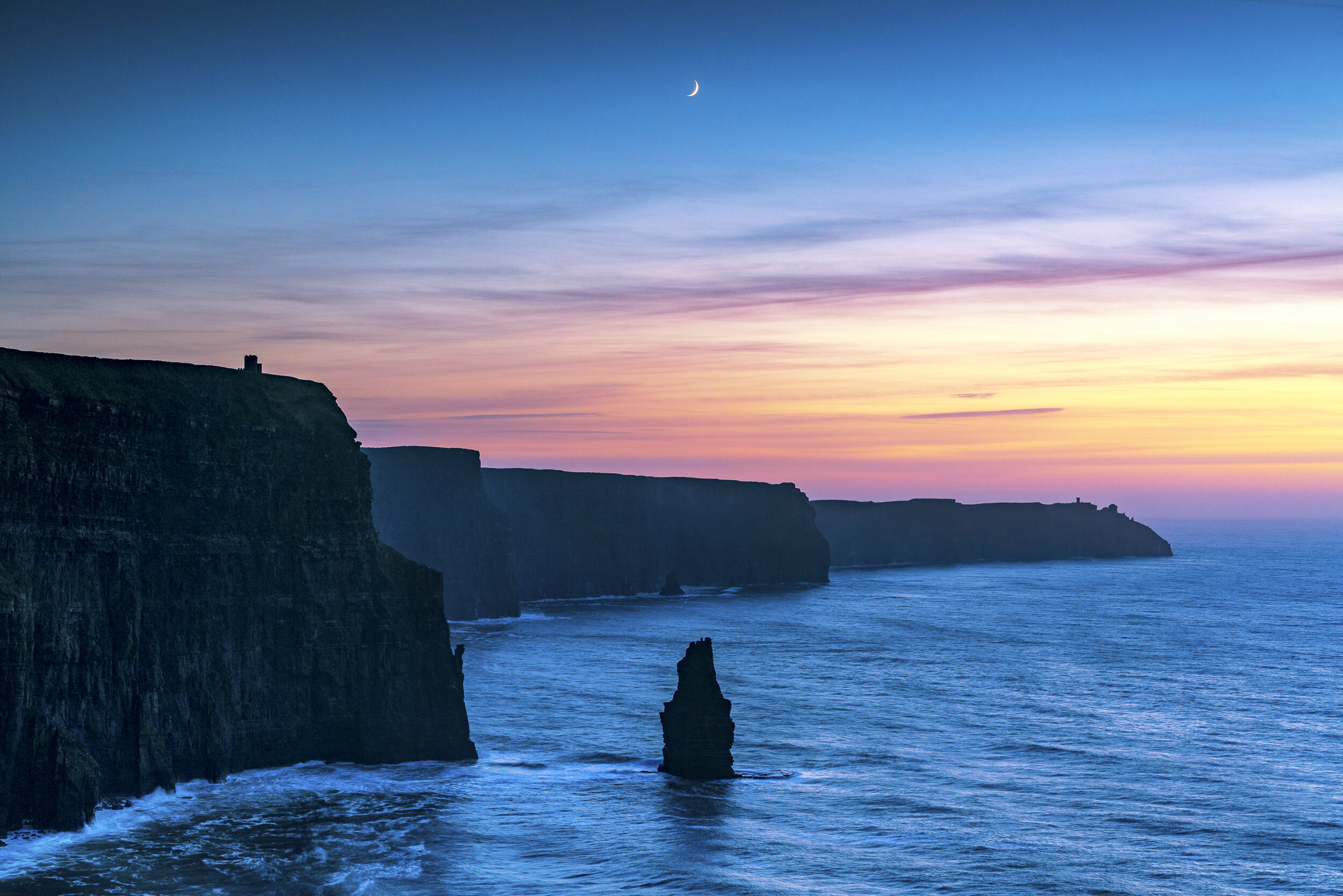
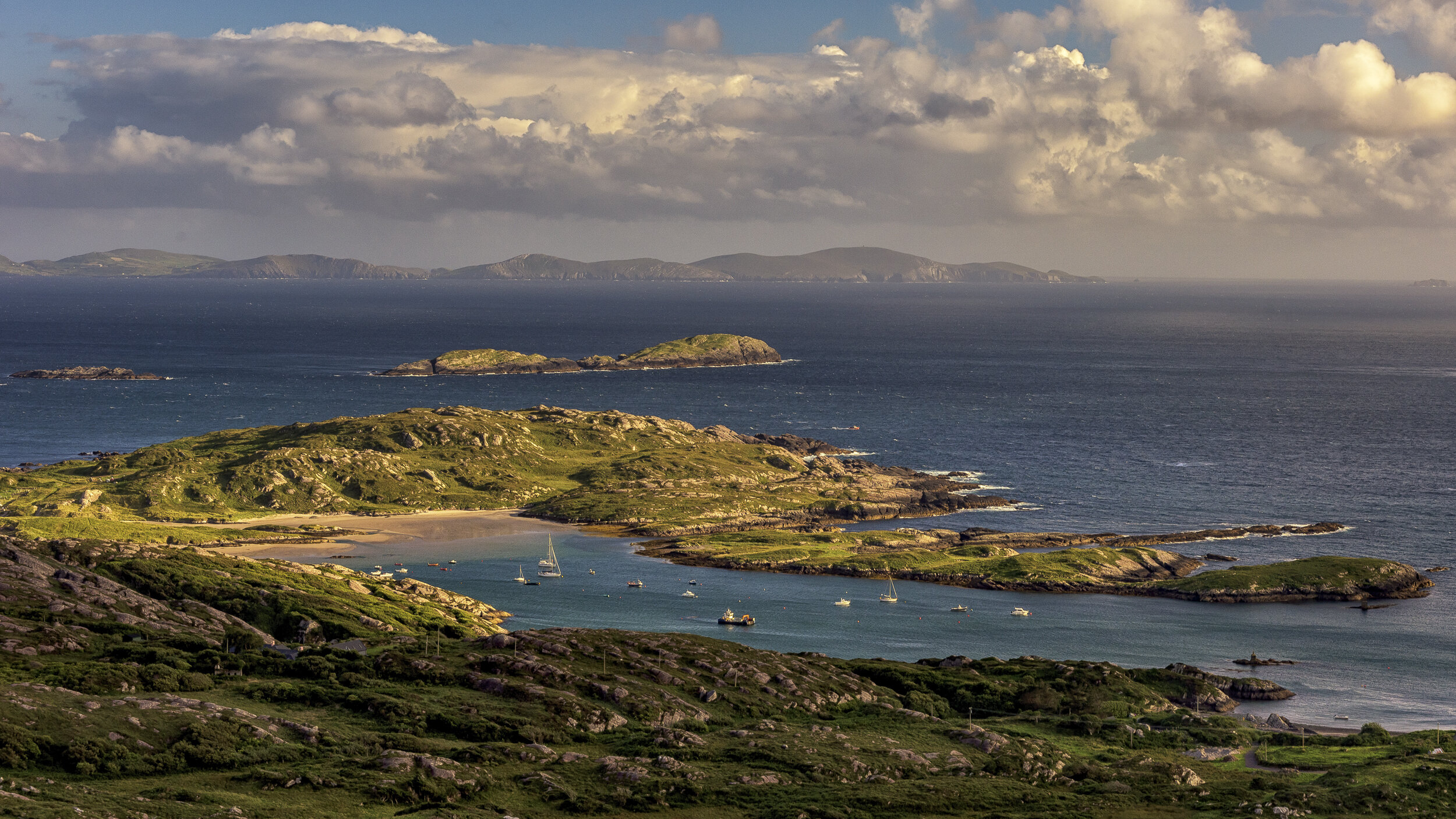
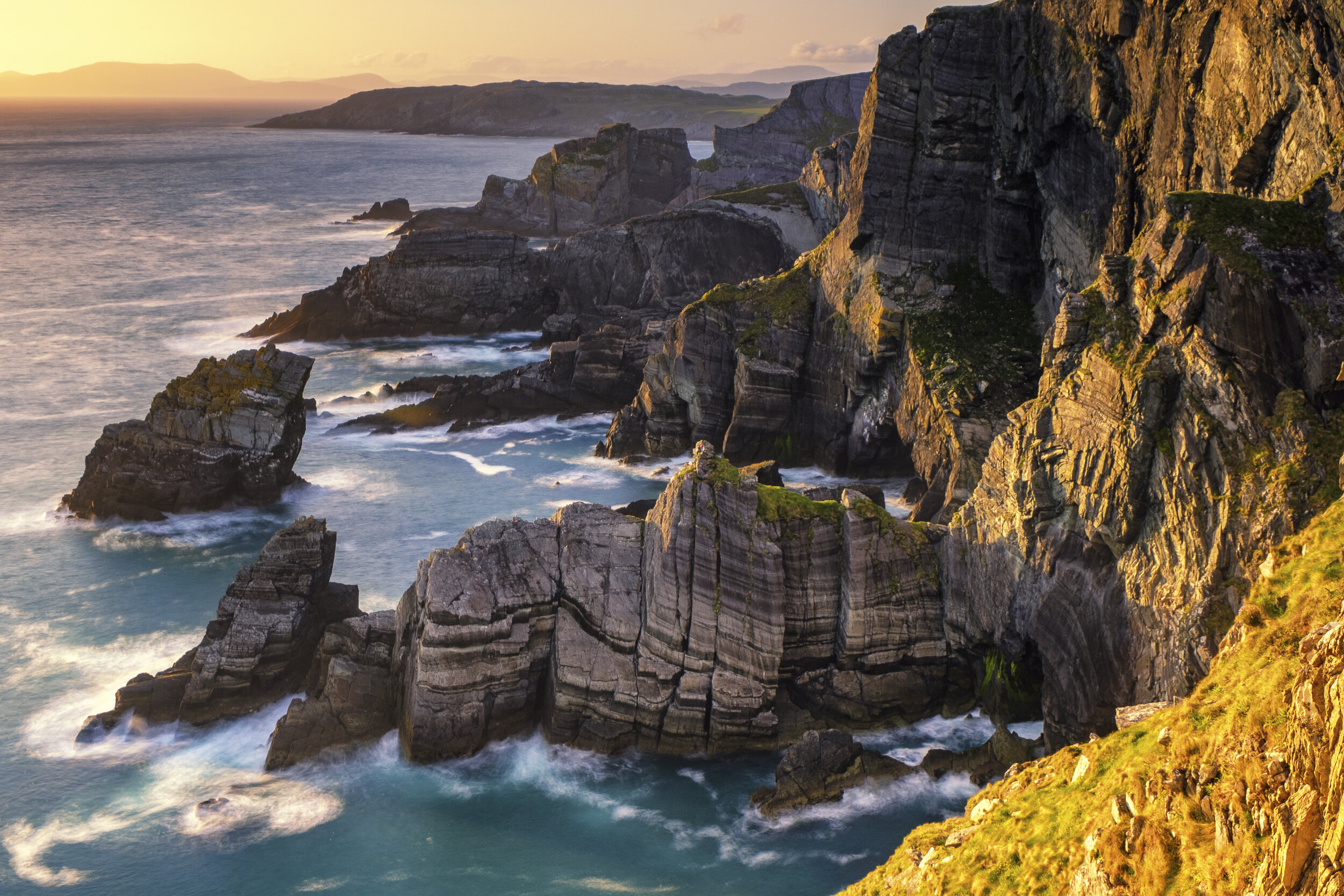
I once had the idea of photographing the entire length of the Way until I realised both that time was against me and that landscape photography doesn’t work like that. It often takes multiple visits to the same location before the right conditions come together and before I begin to grasp what lies before me. So this gallery at best can only provide an impression, a glimpse into the variety of beautiful vistas that lie along Ireland’s Atlantic coast.
Our journey begins at sunrise at Malin Head, Ireland’s most northerly point. We then follow much of Donegal, before skipping (in rather large jumps!) down the West Coast to Mizen Head, Ireland’s most southerly point in time for sunset. The final photo is of the Milky Way rising above the famous Baltimore Beacon, near the Old Head of Kinsale, which is where the Wild Atlantic Way ends - or begins, depending on whether you start in the north or in the south. I hope you enjoy the journey!





prints available
If you would like to purchase a print from this gallery please contact us directly and we will do our best to help.
